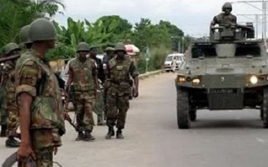
The Minister for Defence, , has said government plans to takeover the disputed Nkonya-Alavanyo land to develop it into a military training camp.
Speaking on the floor of Parliament today, Dominic Nitiwul, was hopeful the plan would help settle the century old conflict between the two towns that has claimed many lives.
According to the Minister, the land would be used by the security agencies "we’ll start training in that particular area, the structures have already been put there, to ensure that the security is permanently present there because we need land to train so if people have land and they give to us to train and they are disputing over it, we will go and use that place to trainâ€
The land covering an area of 6,459.82 acres has formed the basis of protracted conflict between the people of Alavanyo and Nkonya and has resulted in the death of tens of people from both sides.
Experts have said while the conflict is known to have been caused by a boundary dispute, it is the raising of timber, court verdicts, ethnic politics, and the reinvention of history that constitute the major drivers of the dispute.
The dispute is said to have dated back to 1913 when the area was still under German control. A map was drawn by German Colonial Cartographer, Hans Gruner, in an effort to settle the dispute but it did not work.
The British also took over the land in 1920 and tried to resolve the conflict, but it also failed.
This compelled members of Nkonya, who claimed ownership of the land on the basis of first come status, to take the matter to court in 1953.
Court rulings from 1953 to 1980, five in all, have all favoured Nkonya on the basis of the Gruner map but the dispute has persisted.
Â
Â


